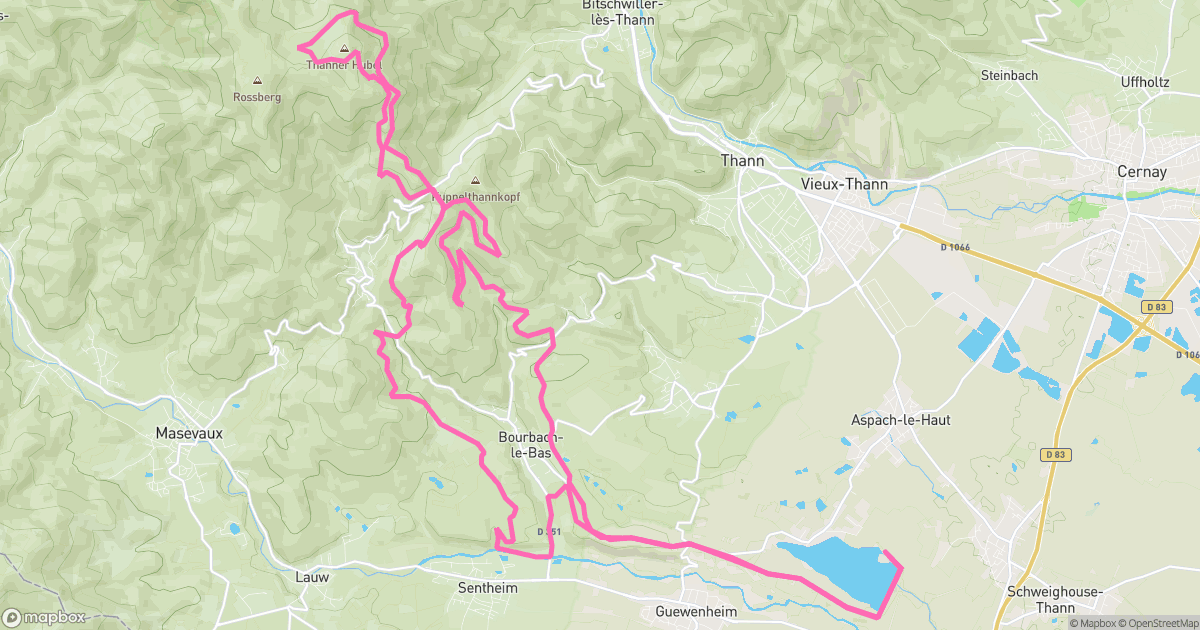
The line
Elevation
330 m - 1158 m
Slope
-150% - 110%
Speed
0 km/h - 35 km/h
A spicy little mission around Aspach-le-Bas: 44.28 km with 1196 m of vertical. Steep bits, grippy dirt, and the kind of tired that feels great.
Ne pas passer par le champs des vaches au retour apres le col du Hundsruck.
330 m - 1158 m
-150% - 110%
0 km/h - 35 km/h

Aspach-le-Bas
Haut-Rhin, France
All-Mountain
Electric MTB
Not rated yet
Sep 7, 2025
11:52 AM
44.28 km
1196 m
Uphill
3h 09m 42s
4h 14m 54s
garmin
fenix 6 Pro