The line
Elevation
254 m - 394 m
Slope
-93% - 43%
Speed
1 km/h - 32 km/h
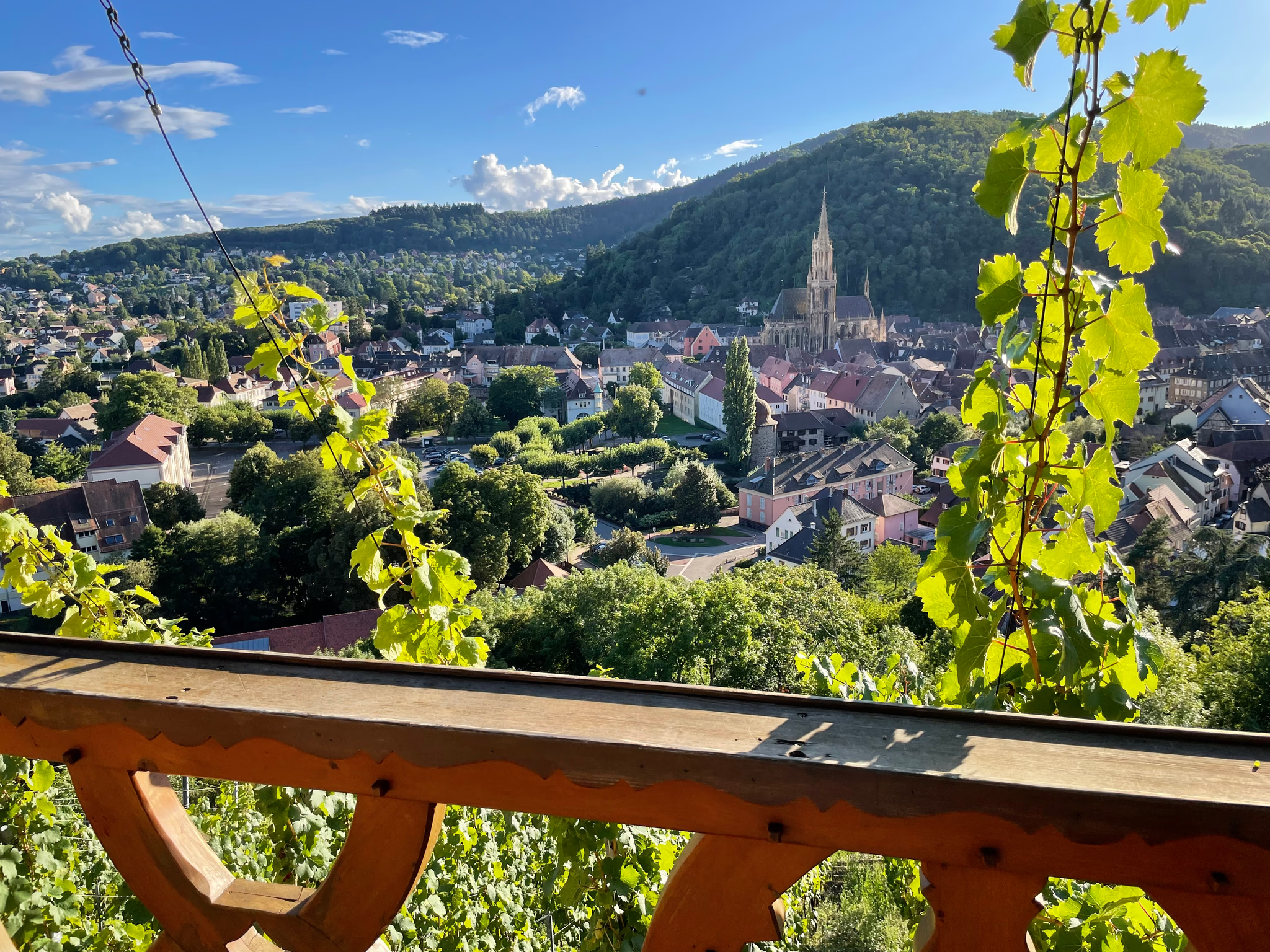
A relaxed loop around Staffelfelden: 28.27 km with 220 m of climbing. Flowing trails, easy gears, and time to look up and enjoy the view.
254 m - 394 m
-93% - 43%
1 km/h - 32 km/h

Staffelfelden
Haut-Rhin, France
Not specified
Analog MTB
Not rated yet
Aug 30, 2025
03:32 PM
28.27 km
220 m
Uphill
1h 36m 51s
1h 45m 23s
garmin
fenix 6 Pro