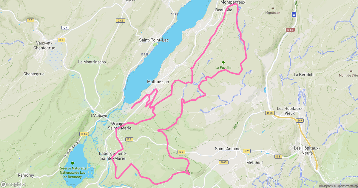
The line
Elevation
854 m - 1090 m
Slope
-84% - 66%
Speed
0 km/h - 43 km/h
A spicy little mission around Malbuisson: 29.67 km with 839 m of vertical. Steep bits, grippy dirt, and the kind of tired that feels great.
854 m - 1090 m
-84% - 66%
0 km/h - 43 km/h

Malbuisson
Doubs, France
Not specified
Analog MTB
Not rated yet
Jul 9, 2025
12:32 PM
29.67 km
839 m
Uphill
2h 03m 27s
2h 24m 56s
garmin
Garmin Fenix 6X