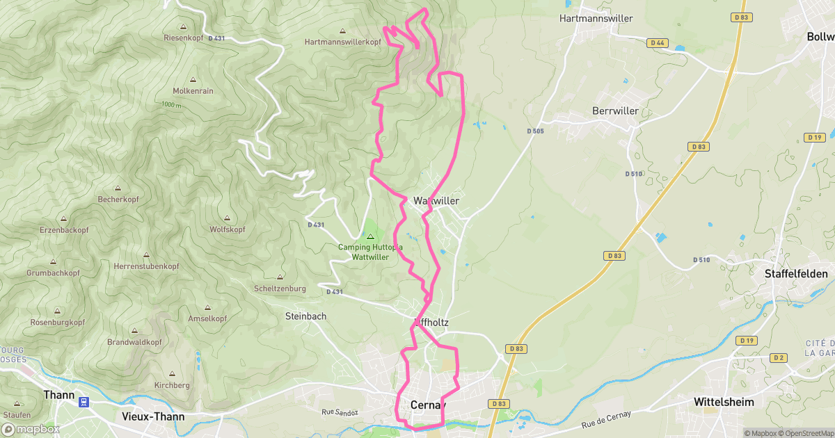
The line
Elevation
294 m - 789 m
Slope
-172% - 131%
Speed
0 km/h - 48 km/h
A spicy little mission around Cernay: 19.64 km with 557 m of vertical. Steep bits, grippy dirt, and the kind of tired that feels great.
294 m - 789 m
-172% - 131%
0 km/h - 48 km/h

Cernay
Haut-Rhin, France
Not specified
Analog MTB
Not rated yet
Jun 22, 2025
07:03 AM
19.64 km
557 m
Uphill
1h 40m 59s
2h 20m 43s
garmin