The line
Elevation
248 m - 413 m
Slope
-55% - 73%
Speed
0 km/h - 36 km/h
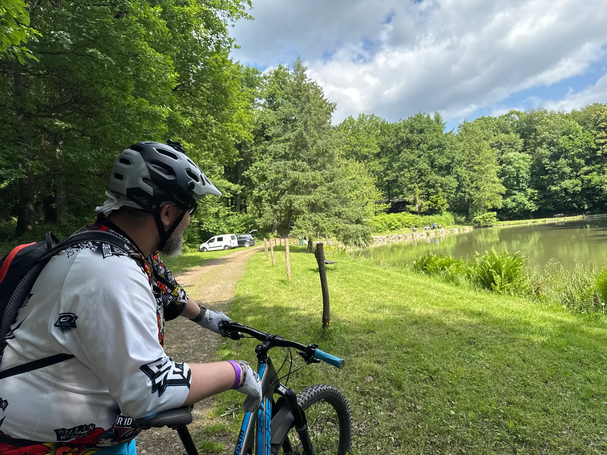
A good day out in Guebwiller: 26.29 km and 378 m up. Enough punchy climbs to warm the legs, with plenty of fun on the way down.
248 m - 413 m
-55% - 73%
0 km/h - 36 km/h

Guebwiller
Haut-Rhin, France
Not specified
Analog MTB
Not rated yet
May 18, 2025
07:01 AM
26.29 km
378 m
Uphill
0 min
2h 22m 38s
garmin
fenix 6X Pro