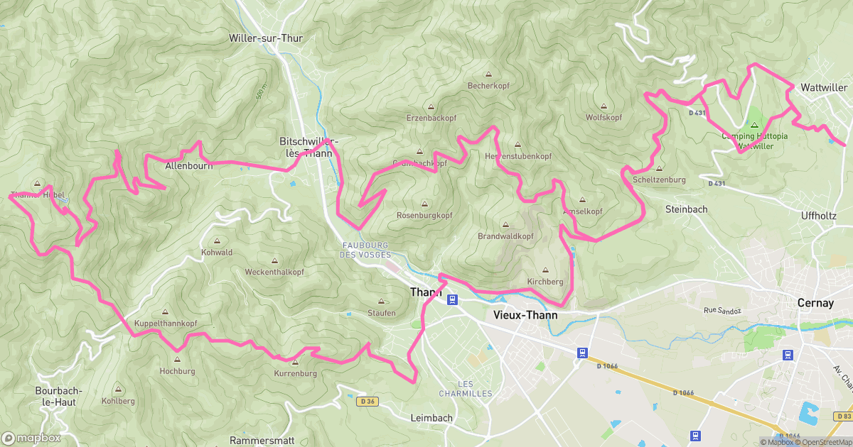
Thanner 2022

A spicy little mission around Wattwiller: 51.91 km with 1459 m of vertical. Steep bits, grippy dirt, and the kind of tired that feels great.

Date

Dec 25, 2022

12:00 PM

Location

Wattwiller

Haut-Rhin, France

Elevation

1459 m

Uphill

Elevation

1448 m

Downhill

Distance

51.91 km


Moving Duration

3h 59m 06s

3h 59m 12s

Average Moving Speed

13.03 km/h


Max Speed

30.89 km/h


Average Heart Rate

— bpm


Kilocalories

— kcal


Average Temperature

—°C


Data Source

randuro


Join the Randuro Crew

Start tracking your rides, discover new trails, and connect with a global community of mountain bikers. Your next adventure begins here.

  • Upload GPX or FIT files
  • Auto-import from Garmin
  • Basic trail maps
  • Ride statistics
  • Community events
  • Connect with riders